Rudrapur, Uttarakhand
Pin code, station, distances and representatives at a glance.
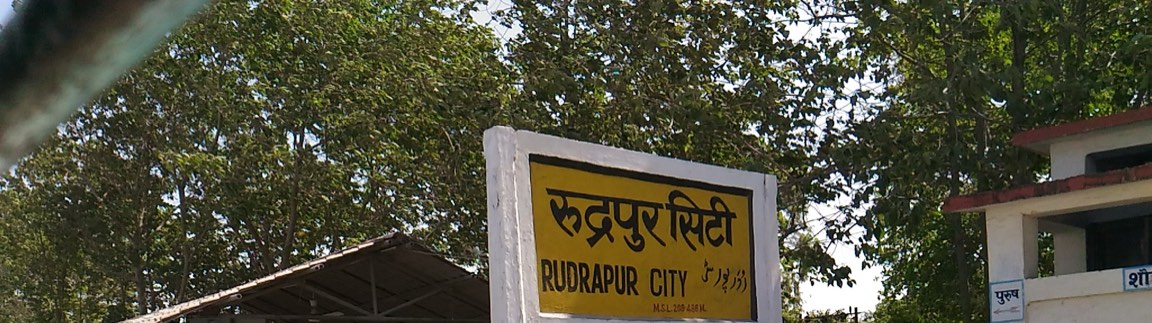 Photo: Goutam1962 · CC BY-SA 4.0
Rudrapur is the headquarters of Udham Singh Nagar district in Uttarakhand, in the Terai belt of the Kumaon division, about 254 km by road from Delhi and 36 km from Haldwani. The SIDCUL industrial estate and the agricultural university at Pantnagar sit next to the city.
At a glance
- Udham Singh NagarDistrict
- 263153Pin code
- 05944STD code
- UK-06Vehicle registration
- RUPCRailway station code
- PGH · 18 kmPantnagar Airport
- 1,40,857Population (2011)
- 40 wardsNagar Nigam
- NH 9 · NH 109 · NH 309National highways
- 217 metresElevation
Distance from Rudrapur
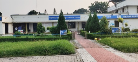
Getting aroundRudrapur lies on National Highway 9 (Delhi–Moradabad–Rudrapur–Haldwani), and the roads to Nainital, Bareilly and Kashipur start here. By rail the station is Rudrapur City (code RUPC); by air, Pantnagar Airport (PGH).
- 15 kmKichha
- 36 kmHaldwani
- 55 kmKashipur
- 76 kmBareilly
- 78 kmNainital
- 254 kmDelhi (Anand Vihar)
- 285 kmDehradun
Administration and representatives
Your representativesThe Rudrapur Nagar Nigam handles sweeping, street lights, drains and property tax (40 wards, helpline 05944-242400). The district administration (the Collectorate) is in Rudrapur itself.
Industry and education
Jobs in SIDCUL and PantnagarThe SIDCUL integrated industrial estate at Pantnagar, next to the city, holds a large number of factories and most of the jobs in town. Pantnagar University (1960) is the first agricultural university of independent India; its Kisan Mela is held twice a year.
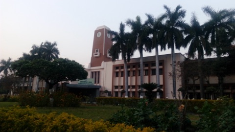 Govind Ballabh Pant University of Agriculture & Technology, PantnagarपंतनगरPhoto: Pranjalyadava · CC BY-SA 4.0Sardar Bhagat Singh Government PG College, RudrapurColleges
New stock, prices and WhatsApp for the city’s shops, in one place: Rudrapur Bazaar
Landmarks and places to see
All places in the city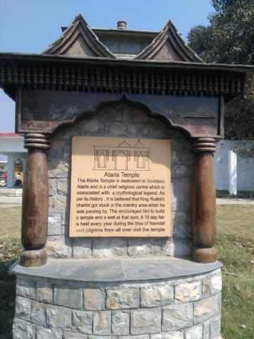 Atariya TempleTemplesPhoto: RaviVerma2018 · CC BY-SA 4.0Gandhi ParkParksManoj Sarkar Sports StadiumSports grounds
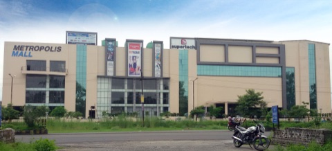 Metropolis MallसिडकुलPhoto: Jiwanfarswan · CC BY-SA 4.0Paanch MandirTemplesGurudwara Guru Singh Sabha, Gole Marketगोल मार्केटLake Paradise RudrapurParks
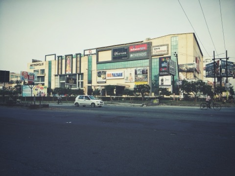 Wave Cinemas RudrapurसिडकुलPhoto: RaviVerma2018 · CC BY-SA 4.0
Weather in Rudrapur today
27°C
Clear sky
Feels like 28°Humidity 47%Wind 9 km/h
- TodayMainly clear0%28°17°
- TomorrowClear sky0%27°15°
- ThuOvercast0%26°16°
Sunrise 06:31Sunset 17:20Forecast: Open-Meteo
Frequently asked questions
Where is Rudrapur?
Rudrapur is the headquarters of Udham Singh Nagar district in the state of Uttarakhand, in the Terai belt of the Kumaon division. It is about 254 km by road from Delhi, 36 km from Haldwani and 78 km from Nainital.
Which district is Rudrapur in?
Udham Singh Nagar. The district headquarters (the Collectorate) is in Rudrapur itself.
What is the PIN code of Rudrapur?
The PIN code of Rudrapur is 263153 (Rudrapur sub post office). Pantnagar is 263145.
What is the railway station code of Rudrapur?
Rudrapur City station has the code RUPC. It is in the Izzatnagar division of the North Eastern Railway and has two platforms.
Which is the nearest airport to Rudrapur?
Pantnagar Airport (code PGH), about 18 km by road from the city. Check flight times on the Airports Authority website.
What is the population of Rudrapur?
In the 2011 Census, Rudrapur city had 1,40,857 people and the urban agglomeration 1,54,554.
Who are the mayor, the MLA and the MP of Rudrapur?
Mayor: Vikas Sharma · MLA: Shiv Arora · MP (Lok Sabha): Ajay Bhatt. The names, offices and public-hearing hours of the current mayor, MLA and MP are on the representatives page.
How many wards does the Rudrapur Nagar Nigam have?
The Rudrapur Nagar Nigam has 40 wards. Rudrapur has been a municipal corporation since 2013; helpline 05944-242400.
What are the STD code and the vehicle registration code of Rudrapur?
STD code 05944, and vehicle registration code UK-06 (Udham Singh Nagar).
What is there to see in Rudrapur?
Atariya Temple, Gandhi Park, Manoj Sarkar Stadium and Metropolis Mall are the familiar places in the city; the Pantnagar University campus and Nanak Sagar are close by. The full list is on the places page.
How is Rudrapur written in Hindi?
रुद्रपुर. India Post also spells it "Rudarpur", and the railway station is named "Rudrapur City".
Sources: District Udham Singh Nagar website, Nagar Nigam Rudrapur, India Post (PIN codes), Wikipedia: Rudrapur (Census 2011, elevation, coordinates), Wikipedia: Rudrapur City railway station, Airports Authority of India: Pantnagar, G. B. Pant University · Figures checked on 23 September 2026.
Is a figure wrong or out of date? Report a mistake